PhD holder with architecture & urban planning background seeking research opportunities in Transforming Built Environment, Social Accessibility and its role in Sustainable Development

Previous Research Areas
Here you can find a brief of research methods and interests of my work
My research involves constant investigation and analysis of the changing urban form in Indian cities. The strength of my research lies in the breadth and depth of the qualitative and statistical approaches I utilize to understand the mechanisms that drive the systems I am studying. Learn more about my ongoing research projects below.

Urban Morphology
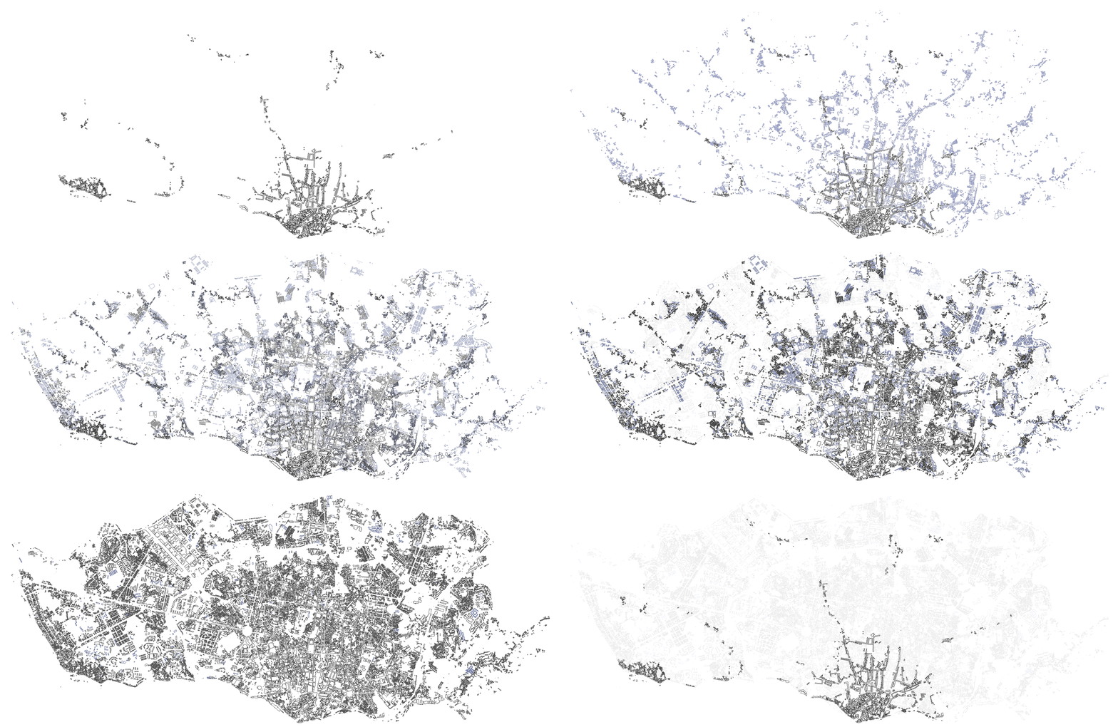
The study of urban form is either qualitative or quantitative. The scale of analysis depends on the Need of the study and the site examined. It must include building and neighbourhood scales. Such research in the past has configured evidence that morphological studies on the urban form have found a critical impact on energy consumption and greenhouse gas emissions. The urban form also significantly impacts sustainability's social, economic, and environmental aspects. Therefore, urban morphology constitutes the roots of urban sustainability (Bourdic et al., 2012).

Urban Water Usability
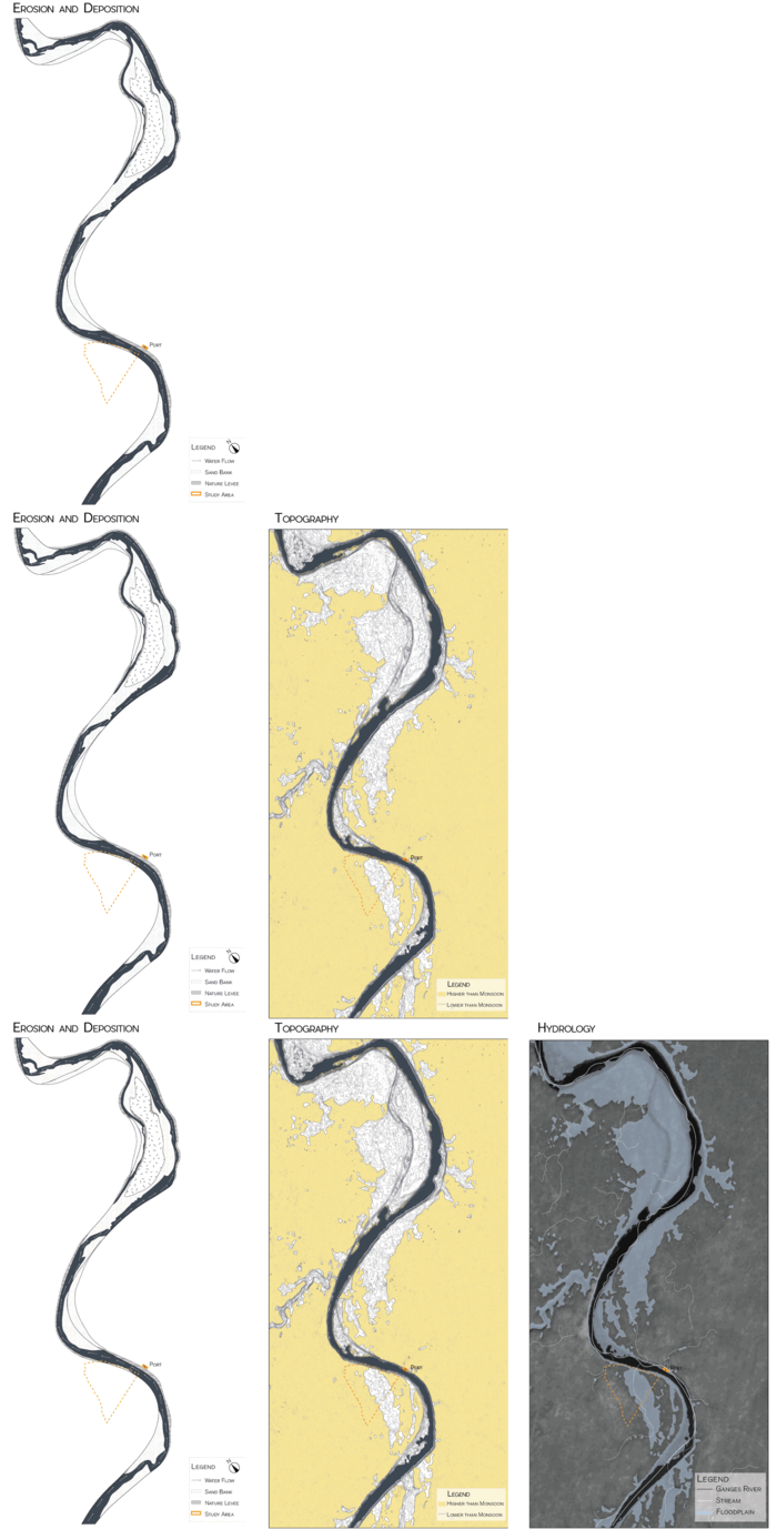
Water usability refers to the suitability of water for various purposes, such as drinking, agriculture, industrial use, and recreational activities. It encompasses the assessment of water quality, quantity, and accessibility. Factors affecting water usability include contamination levels, pH balance, presence of harmful substances, and availability of adequate water sources. Ensuring safe and usable water is crucial for maintaining public health, promoting sustainable development, and preserving ecosystems. Water usability assessments often involve regular monitoring, treatment processes, and adherence to regulatory standards to safeguard human and environmental well-being.

Network Analysis of Urban Areas
Space syntax analysis is a research methodology that examines urban environments' spatial configuration and organization to understand the relationship between physical space and human behaviour. It utilizes computational techniques to analyze and quantify spatial patterns, connectivity, and accessibility within built environments. This analysis focuses on the spatial properties of streets, buildings, and public spaces, considering street network connectivity, building layouts, pedestrian movement patterns, and visibility. By mapping and measuring these spatial attributes, researchers can gain insights into how urban spaces influence social interactions, pedestrian flows, and functional efficiency. The analysis involves axial analysis, representing streets as lines and nodes, and integration measures, assessing the degree of connectivity and accessibility between different spaces. Space syntax analysis can reveal movement patterns and identify spaces with higher social interaction potential, aiding urban designers, architects, and planners in making informed decisions regarding urban interventions, transportation planning, and land use allocation. By understanding the spatial structure of cities, space syntax analysis contributes to designing more inclusive and efficient urban environments, enhancing walkability, reducing congestion, and improving the overall quality of urban life.

Spatiotemporal Analysis
Spatiotemporal analysis is a methodology that combines spatial and temporal dimensions to analyze and understand patterns and processes that occur over space and time. It involves examining how geographic phenomena change and interact over different time periods. By integrating spatial and temporal data, such as satellite imagery, sensor data, or historical records, spatiotemporal analysis enables the identification of trends, patterns, and relationships within dynamic systems. This approach is widely used in various fields, including environmental science, urban planning, epidemiology, and transportation, to study phenomena such as land-use changes, disease outbreaks, traffic patterns, and climate variability, providing valuable insights for decision-making and policy formulation.

Urban Morphological Indicators
Urban morphological indicators refer to measurable characteristics or parameters that describe the physical form and structure of urban areas. These indicators capture the spatial arrangement of buildings, streets, open spaces, and land use patterns. Examples of urban morphological indicators include building density, plot size, street network connectivity, land use mix, building heights, and public space ratio. By analyzing these indicators, urban planners and designers can gain insights into the functional efficiency, walkability, urban sprawl, and livability of cities. Urban morphological indicators are valuable tools for assessing urban form, guiding land use planning, supporting transportation infrastructure design, and promoting sustainable urban development.

Structural Equation Models
Structural structural equation models or causal diagrams, are analytical frameworks used to understand and represent causal relationships among variables in a system. They consist of a graphical representation that visually depicts the causal links between variables and a set of mathematical equations that describe the quantitative relationships between variables. Structural causal models help researchers and analysts explore cause-and-effect relationships, estimate the effects of interventions or policy changes, and make predictions about the behavior of the system. They provide a formal framework for understanding complex systems and enable decision-making based on a deeper understanding of causal relationships and their implications.

Cluster Analysis
Cluster analysis is a statistical technique used to identify groups or clusters within a dataset based on the similarity of observations. In analyzing household (HH) sample size, cluster analysis can identify distinct household groups with similar characteristics or behaviours. A dataset of HHs with relevant variables such as demographic information, income, education level, and other pertinent factors should be collected. Next, a suitable clustering algorithm, such as k-means or hierarchical clustering, needs to be selected based on the nature of the data and research objectives. The goal is to maximize the homogeneity within each cluster while maximizing the heterogeneity between clusters. The number of clusters can be determined through techniques like the elbow method or silhouette analysis, which evaluate the compactness and separation of clusters. In summary, cluster analysis of HH sample size involves using statistical techniques to identify distinct groups of households with similar characteristics or behaviours. By applying appropriate clustering algorithms and interpreting the results, researchers can gain valuable insights into the underlying patterns and heterogeneity within the dataset.


